Introduction
Roman geographers made significant contributions to the field of geography during the Roman Empire, blending their own knowledge with that inherited from the Greeks and other cultures. Their works laid the foundation for understanding geographical concepts in the Western world.
Table of Contents
Area of Work
Roman geographers focused on various aspects of geography, including cartography, physical geography, human geography, and the exploration of newly conquered territories.
Specialization
Many Roman geographers specialized in mapping and describing the territories under Roman control, documenting natural features, cities, roads, and boundaries. Others delved into theoretical aspects of geography, exploring topics such as climatology, ethnography, and regional studies.
Significant Contribution
Roman geographers significantly expanded geographical knowledge through their extensive surveys, detailed maps, and comprehensive descriptions of the known world. Their works facilitated navigation, trade, and governance across the vast Roman Empire.
Major Works
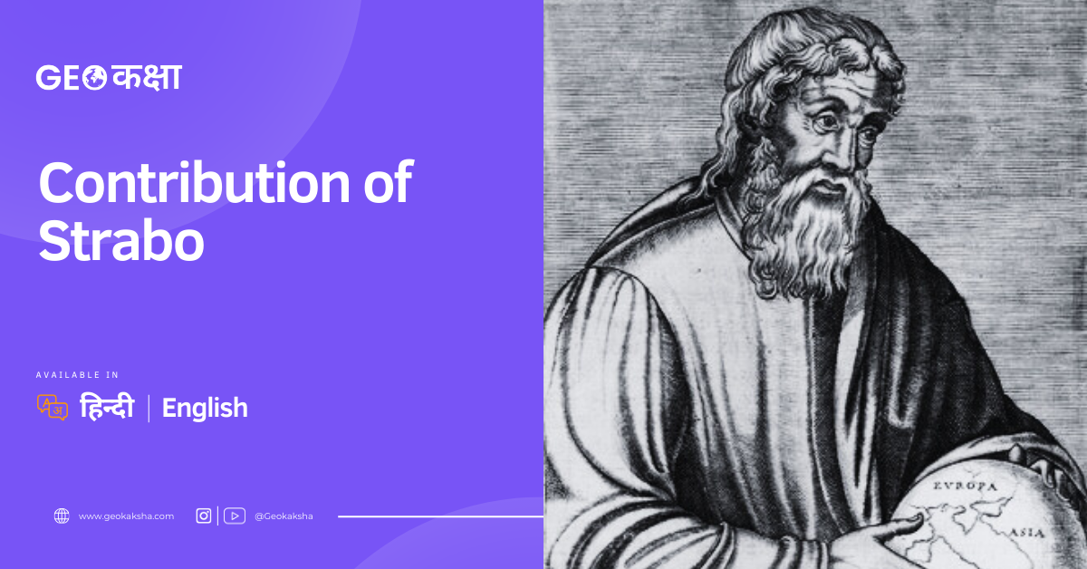
Prominent among Roman geographers is Strabo, whose "Geography" stands as one of the most influential geographical works of antiquity. Ptolemy introduced the concept of longitude and latitude. Ptolemy's "Geography" provided a systematic approach to mapping and Additionally, Pomponius Mela's "De Situ Orbis" offered an overview of the known world, while Pliny the Elder's "Natural History" incorporated geographical knowledge into a broader scientific context, documenting the Earth's physical features, climate, and inhabitants.


